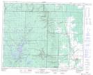
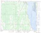
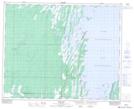
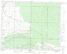
Maps showing North Duck River, 18-37-19-W, Manitoba
North Duck River is a River located in 18-37-19-W, Manitoba and has an elevation of 330 meters.
- Latitude: 52° 11' 5'' North (decimal: 52.1846999)
- Longitude: 100° 10' 42'' West (decimal: -100.1782999)
- Topography Feature Category: River
- Geographical Feature: River
- Canadian Province/Territory: Manitoba
- Elevation: 330 meters
- Location: 18-37-19-W
- Atlas of Canada Locator Map: North Duck River
- GPS Coordinate Locator Map: North Duck River Lat/Long
North Duck River NTS Map Sheets