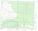
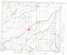
Maps showing Old Government Drain, 12-36-26-W, Manitoba
Old Government Drain is a Hydraulic construction located in 12-36-26-W, Manitoba.
- Latitude: 52° 4' 38'' North (decimal: 52.0771999)
- Longitude: 101° 2' 39'' West (decimal: -101.0441999)
- Topography Feature Category: Hydraulic construction
- Geographical Feature: Drain
- Canadian Province/Territory: Manitoba
- Location: 12-36-26-W
- Atlas of Canada Locator Map: Old Government Drain
- GPS Coordinate Locator Map: Old Government Drain Lat/Long
Old Government Drain NTS Map Sheets