Maps showing Oxbow Woods, Manitoba
Oxbow Woods is a Forest located in Manitoba.
- Latitude: 50° 9' 35'' North (decimal: 50.1597000)
- Longitude: 98° 21' 54'' West (decimal: -98.3649999)
- Topography Feature Category: Forest
- Geographical Feature: Woods
- Canadian Province/Territory: Manitoba
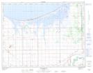
- Atlas of Canada Locator Map: Oxbow Woods
- GPS Coordinate Locator Map: Oxbow Woods Lat/Long