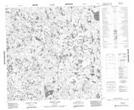
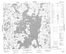
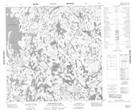
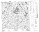
Maps showing Palmatier Lake, Manitoba
Palmatier Lake is a Lake located in Manitoba.
- Latitude: 59° 45' 1'' North (decimal: 59.7503000)
- Longitude: 97° 29' 59'' West (decimal: -97.4997000)
- Topography Feature Category: Lake
- Geographical Feature: Lake
- Canadian Province/Territory: Manitoba
- Atlas of Canada Locator Map: Palmatier Lake
- GPS Coordinate Locator Map: Palmatier Lake Lat/Long
Palmatier Lake NTS Map Sheets
064P11 Abbott Lake Topographic Map at 1:50,000 scale
064P12 Hollowrock Island Topographic Map at 1:50,000 scale
064P13 Wakefield Lake Topographic Map at 1:50,000 scale
064P14 Commonwealth Lake Topographic Map at 1:50,000 scale
064P Nejanilini Lake Topographic Map at 1:250,000 scale
064P12 Hollowrock Island Topographic Map at 1:50,000 scale
064P13 Wakefield Lake Topographic Map at 1:50,000 scale
064P14 Commonwealth Lake Topographic Map at 1:50,000 scale
064P Nejanilini Lake Topographic Map at 1:250,000 scale