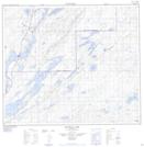
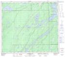
Maps showing Patrick Creek, 27-72-5-W, Manitoba
Patrick Creek is a River located in 27-72-5-W, Manitoba and has an elevation of 212 meters.
- Latitude: 55° 15' 59'' North (decimal: 55.2663999)
- Longitude: 98° 8' 27'' West (decimal: -98.1407999)
- Topography Feature Category: River
- Geographical Feature: Creek
- Canadian Province/Territory: Manitoba
- Elevation: 212 meters
- Location: 27-72-5-W
- Atlas of Canada Locator Map: Patrick Creek
- GPS Coordinate Locator Map: Patrick Creek Lat/Long
Patrick Creek NTS Map Sheets