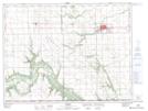
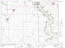
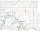
Maps showing Pembina, Manitoba
Pembina is a Other municipal/district area - miscellaneous located in Manitoba and has an elevation of 483 meters.
- Latitude: 49° 10' 2'' North (decimal: 49.1671999)
- Longitude: 98° 29' 10'' West (decimal: -98.4861000)
- Topography Feature Category: Other municipal/district area - miscellaneous
- Geographical Feature: Rural Municipality
- Canadian Province/Territory: Manitoba
- Elevation: 483 meters
- Atlas of Canada Locator Map: Pembina
- GPS Coordinate Locator Map: Pembina Lat/Long
Pembina NTS Map Sheets