Maps showing Pembina River, 1-6-W, Manitoba
Pembina River is a River located in 1-6-W, Manitoba and has an elevation of 367 meters.
- Latitude: 49° 0' 1'' North (decimal: 49.0002999)
- Longitude: 98° 12' 23'' West (decimal: -98.2063999)
- Topography Feature Category: River
- Geographical Feature: River
- Canadian Province/Territory: Manitoba
- Elevation: 367 meters
- Location: 1-6-W
- Atlas of Canada Locator Map: Pembina River
- GPS Coordinate Locator Map: Pembina River Lat/Long
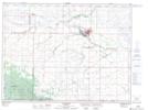
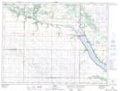
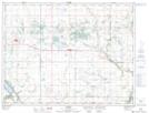
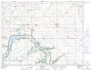
Pembina River NTS Map Sheets
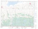
062F01 Deloraine Topographic Map at 1:50,000 scale
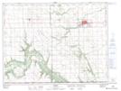
062G01 Morden Topographic Map at 1:50,000 scale
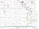
062G02 Pilot Mound Topographic Map at 1:50,000 scale
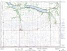
062G03 Holmfield Topographic Map at 1:50,000 scale
062G04 Killarney Topographic Map at 1:50,000 scale
062G05 Dunrea Topographic Map at 1:50,000 scale
062G06 Baldur Topographic Map at 1:50,000 scale
062G07 Somerset Topographic Map at 1:50,000 scale
062F Virden Topographic Map at 1:250,000 scale
062G Brandon Topographic Map at 1:250,000 scale