Canada Topographic Maps

Lake of the Prairies Topo Maps

Topography maps and Latitude/Longitude Location

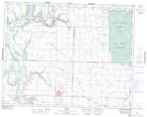
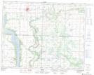
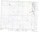
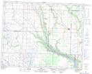
Maps showing Lake of the Prairies, Manitoba

Lake of the Prairies is a Lake located in Manitoba and has an elevation of 411 meters.

  • Latitude: 51° 6' 10'' North   (decimal: 51.1027999)
  • Longitude: 101° 25' 38'' West   (decimal: -101.4271999)
  • Topography Feature Category: Lake
  • Geographical Feature: Lake
  • Canadian Province/Territory: Manitoba
  • Elevation: 411 meters
  • Atlas of Canada Locator Map: Lake of the Prairies
  • GPS Coordinate Locator Map: Lake of the Prairies Lat/Long

Lake of the Prairies NTS Map Sheets

062K14 Inglis Topographic Map at 1:50,000 scale

062N03 Roblin Topographic Map at 1:50,000 scale

062N04 Calder Topographic Map at 1:50,000 scale

062N05 Togo Topographic Map at 1:50,000 scale

062K Riding Mountain Topographic Map at 1:250,000 scale

062N Duck Mountain Topographic Map at 1:250,000 scale

 
Buy Topographic Maps DVD
Newsletter Sign-up

Yes, I want to receive map store discounts.


Bookmark and Share