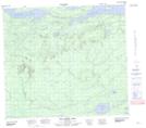
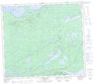
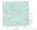
Maps showing Pukituwaw Lake, Manitoba
Pukituwaw Lake is a Lake located in Manitoba and has an elevation of 183 meters.
- Latitude: 56° 16' 4'' North (decimal: 56.2678000)
- Longitude: 96° 29' 8'' West (decimal: -96.4855999)
- Topography Feature Category: Lake
- Geographical Feature: Lake
- Canadian Province/Territory: Manitoba
- Elevation: 183 meters
- Atlas of Canada Locator Map: Pukituwaw Lake
- GPS Coordinate Locator Map: Pukituwaw Lake Lat/Long
Pukituwaw Lake NTS Map Sheets