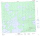
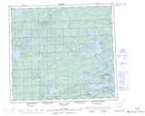
Maps showing Pukwasikunikan Lake, 28,27-88-8-E, Manitoba
Pukwasikunikan Lake is a Lake located in 28,27-88-8-E, Manitoba.
- Latitude: 56° 39' 38'' North (decimal: 56.6605999)
- Longitude: 96° 16' 14'' West (decimal: -96.2706000)
- Topography Feature Category: Lake
- Geographical Feature: Lake
- Canadian Province/Territory: Manitoba
- Location: 28,27-88-8-E
- Atlas of Canada Locator Map: Pukwasikunikan Lake
- GPS Coordinate Locator Map: Pukwasikunikan Lake Lat/Long
Pukwasikunikan Lake NTS Map Sheets