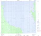
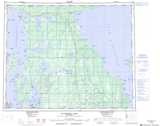
Maps showing Purvis Reef, Manitoba
Purvis Reef is a Shoal located in Manitoba and has an elevation of 216 meters.
- Latitude: 52° 22' 11'' North (decimal: 52.3696999)
- Longitude: 98° 3' 40'' West (decimal: -98.0611000)
- Topography Feature Category: Shoal
- Geographical Feature: Reef
- Canadian Province/Territory: Manitoba
- Elevation: 216 meters
- Atlas of Canada Locator Map: Purvis Reef
- GPS Coordinate Locator Map: Purvis Reef Lat/Long
Purvis Reef NTS Map Sheets