Canada Topographic Maps

Ripple River Topo Maps

Topography maps and Latitude/Longitude Location

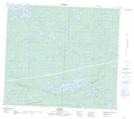
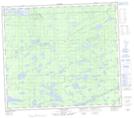
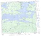
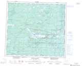
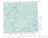
Maps showing Ripple River, 82-9-E, Manitoba

Ripple River is a River located in 82-9-E, Manitoba and has an elevation of 183 meters.

  • Latitude: 56° 4' 25'' North   (decimal: 56.0736000)
  • Longitude: 96° 8' 57'' West   (decimal: -96.1491999)
  • Topography Feature Category: River
  • Geographical Feature: River
  • Canadian Province/Territory: Manitoba
  • Elevation: 183 meters
  • Location: 82-9-E
  • Atlas of Canada Locator Map: Ripple River
  • GPS Coordinate Locator Map: Ripple River Lat/Long

Ripple River NTS Map Sheets

054D04 Ilford Topographic Map at 1:50,000 scale

063P16 Gunn Lake Topographic Map at 1:50,000 scale

064A01 Split Lake Topographic Map at 1:50,000 scale

054D Kettle Rapids Topographic Map at 1:250,000 scale

063P Sipiwesk Topographic Map at 1:250,000 scale

064A Split Lake Topographic Map at 1:250,000 scale

 
Buy Topographic Maps DVD
Newsletter Sign-up

Yes, I want to receive map store discounts.


Bookmark and Share