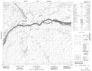
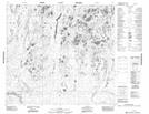
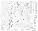
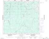
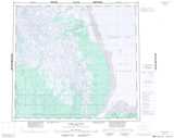
Maps showing Roblin River, 91-5-E2, Manitoba
Roblin River is a River located in 91-5-E2, Manitoba and has an elevation of 35 meters.
- Latitude: 56° 55' 31'' North (decimal: 56.9253000)
- Longitude: 93° 12' 20'' West (decimal: -93.2055999)
- Topography Feature Category: River
- Geographical Feature: River
- Canadian Province/Territory: Manitoba
- Elevation: 35 meters
- Location: 91-5-E2
- Atlas of Canada Locator Map: Roblin River
- GPS Coordinate Locator Map: Roblin River Lat/Long
Roblin River NTS Map Sheets