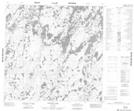
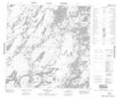
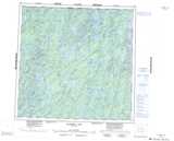
Maps showing Schmidt Lake, Manitoba
Schmidt Lake is a Lake located in Manitoba and has an elevation of 298 meters.
- Latitude: 59° 30' 19'' North (decimal: 59.5053000)
- Longitude: 100° 17' 50'' West (decimal: -100.2971999)
- Topography Feature Category: Lake
- Geographical Feature: Lake
- Canadian Province/Territory: Manitoba
- Elevation: 298 meters
- Atlas of Canada Locator Map: Schmidt Lake
- GPS Coordinate Locator Map: Schmidt Lake Lat/Long
Schmidt Lake NTS Map Sheets