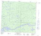
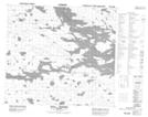
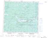
Maps showing South Moswakot River, Manitoba
South Moswakot River is a River located in Manitoba.
- Latitude: 56° 27' 48'' North (decimal: 56.4632999)
- Longitude: 95° 31' 46'' West (decimal: -95.5294000)
- Topography Feature Category: River
- Geographical Feature: River
- Canadian Province/Territory: Manitoba
- Atlas of Canada Locator Map: South Moswakot River
- GPS Coordinate Locator Map: South Moswakot River Lat/Long
South Moswakot River NTS Map Sheets