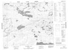
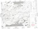
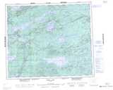
Maps showing Taylor Lake, Manitoba
Taylor Lake is a Lake located in Manitoba and has an elevation of 220 meters.
- Latitude: 54° 25' 36'' North (decimal: 54.4267000)
- Longitude: 97° 0' 56'' West (decimal: -97.0155999)
- Topography Feature Category: Lake
- Geographical Feature: Lake
- Canadian Province/Territory: Manitoba
- Elevation: 220 meters
- Atlas of Canada Locator Map: Taylor Lake
- GPS Coordinate Locator Map: Taylor Lake Lat/Long
Taylor Lake NTS Map Sheets