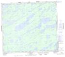
Maps showing Thom Lake, Manitoba
Thom Lake is a Lake located in Manitoba and has an elevation of 208 meters.
- Latitude: 55° 24' 17'' North (decimal: 55.4046999)
- Longitude: 96° 7' 33'' West (decimal: -96.1257999)
- Topography Feature Category: Lake
- Geographical Feature: Lake
- Canadian Province/Territory: Manitoba
- Elevation: 208 meters
- Atlas of Canada Locator Map: Thom Lake
- GPS Coordinate Locator Map: Thom Lake Lat/Long