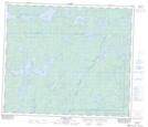
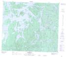
Maps showing Thunderhill Lake, 69,70-25,26-W, Manitoba
Thunderhill Lake is a Lake located in 69,70-25,26-W, Manitoba and has an elevation of 331 meters.
- Latitude: 55° 0' 42'' North (decimal: 55.0116999)
- Longitude: 101° 16' 40'' West (decimal: -101.2777999)
- Topography Feature Category: Lake
- Geographical Feature: Lake
- Canadian Province/Territory: Manitoba
- Elevation: 331 meters
- Location: 69,70-25,26-W
- Atlas of Canada Locator Map: Thunderhill Lake
- GPS Coordinate Locator Map: Thunderhill Lake Lat/Long
Thunderhill Lake NTS Map Sheets