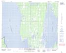
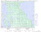
Maps showing Timberwolf Ridge, 36-16-W, Manitoba
Timberwolf Ridge is a Mountain located in 36-16-W, Manitoba and has an elevation of 255 meters.
- Latitude: 52° 5' 47'' North (decimal: 52.0964000)
- Longitude: 99° 42' 10'' West (decimal: -99.7027999)
- Topography Feature Category: Mountain
- Geographical Feature: Ridge
- Canadian Province/Territory: Manitoba
- Elevation: 255 meters
- Location: 36-16-W
- Atlas of Canada Locator Map: Timberwolf Ridge
- GPS Coordinate Locator Map: Timberwolf Ridge Lat/Long
Timberwolf Ridge NTS Map Sheets