Canada Topographic Maps

Tramping Lake Topo Maps

Topography maps and Latitude/Longitude Location

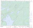
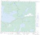
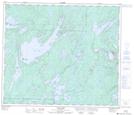
Maps showing Tramping Lake, Manitoba

Tramping Lake is a Lake located in Manitoba and has an elevation of 277 meters.

  • Latitude: 54° 40' 13'' North   (decimal: 54.6703000)
  • Longitude: 100° 8' 22'' West   (decimal: -100.1394000)
  • Topography Feature Category: Lake
  • Geographical Feature: Lake
  • Canadian Province/Territory: Manitoba
  • Elevation: 277 meters
  • Atlas of Canada Locator Map: Tramping Lake
  • GPS Coordinate Locator Map: Tramping Lake Lat/Long

Tramping Lake NTS Map Sheets

063J13 Herb Lake Topographic Map at 1:50,000 scale

063K09 Tramping Lake Topographic Map at 1:50,000 scale

063K16 File Lake Topographic Map at 1:50,000 scale

063J Weskusko Lake Topographic Map at 1:250,000 scale

063K Cormorant Lake Topographic Map at 1:250,000 scale

 
Buy Topographic Maps DVD
Newsletter Sign-up

Yes, I want to receive map store discounts.


Bookmark and Share