Canada Topographic Maps

Turtle River Topo Maps

Topography maps and Latitude/Longitude Location

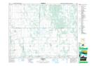
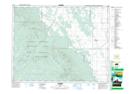
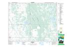
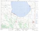
Maps showing Turtle River, 34-24-16-W, Manitoba

Turtle River is a River located in 34-24-16-W, Manitoba and has an elevation of 270 meters.

  • Latitude: 51° 6' 56'' North   (decimal: 51.1155999)
  • Longitude: 99° 38' 26'' West   (decimal: -99.6405999)
  • Topography Feature Category: River
  • Geographical Feature: River
  • Canadian Province/Territory: Manitoba
  • Elevation: 270 meters
  • Location: 34-24-16-W
  • Atlas of Canada Locator Map: Turtle River
  • GPS Coordinate Locator Map: Turtle River Lat/Long

Turtle River NTS Map Sheets

062J11 Glenella Topographic Map at 1:50,000 scale

062J13 Laurier Topographic Map at 1:50,000 scale

062J14 Mccreary Topographic Map at 1:50,000 scale

062O04 Ochre River Topographic Map at 1:50,000 scale

062J Neepawa Topographic Map at 1:250,000 scale

062O Dauphin Lake Topographic Map at 1:250,000 scale

 
Buy Topographic Maps DVD
Newsletter Sign-up

Yes, I want to receive map store discounts.


Bookmark and Share