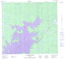
Maps showing Utik Creek, Manitoba
Utik Creek is a River located in Manitoba.
- Latitude: 57° 39' 32'' North (decimal: 57.6588999)
- Longitude: 98° 17' 19'' West (decimal: -98.2885999)
- Topography Feature Category: River
- Geographical Feature: Creek
- Canadian Province/Territory: Manitoba
- Atlas of Canada Locator Map: Utik Creek
- GPS Coordinate Locator Map: Utik Creek Lat/Long
Utik Creek NTS Map Sheets