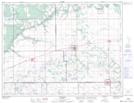
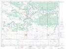
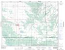
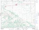
Maps showing Victoria, Manitoba
Victoria is a Other municipal/district area - miscellaneous located in Manitoba.
- Latitude: 49° 39' 51'' North (decimal: 49.6642000)
- Longitude: 98° 53' 44'' West (decimal: -98.8956000)
- Topography Feature Category: Other municipal/district area - miscellaneous
- Geographical Feature: Rural Municipality
- Canadian Province/Territory: Manitoba
- Atlas of Canada Locator Map: Victoria
- GPS Coordinate Locator Map: Victoria Lat/Long
Victoria NTS Map Sheets