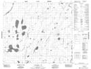
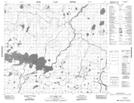
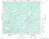
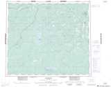
Maps showing Waninapikatanaw River, 69-10-E2, Manitoba
Waninapikatanaw River is a River located in 69-10-E2, Manitoba and has an elevation of 151 meters.
- Latitude: 55° 1' 25'' North (decimal: 55.0236000)
- Longitude: 92° 31' 51'' West (decimal: -92.5308000)
- Topography Feature Category: River
- Geographical Feature: River
- Canadian Province/Territory: Manitoba
- Elevation: 151 meters
- Location: 69-10-E2
- Atlas of Canada Locator Map: Waninapikatanaw River
- GPS Coordinate Locator Map: Waninapikatanaw River Lat/Long
Waninapikatanaw River NTS Map Sheets