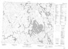
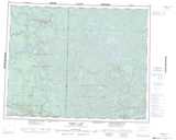
Maps showing Wawataynee Creek, Manitoba
Wawataynee Creek is a River located in Manitoba.
- Latitude: 51° 43' 22'' North (decimal: 51.7227999)
- Longitude: 95° 59' 23'' West (decimal: -95.9896999)
- Topography Feature Category: River
- Geographical Feature: Creek
- Canadian Province/Territory: Manitoba
- Atlas of Canada Locator Map: Wawataynee Creek
- GPS Coordinate Locator Map: Wawataynee Creek Lat/Long
Wawataynee Creek NTS Map Sheets