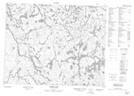
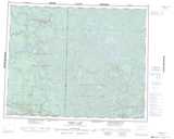
Maps showing Wawataynee Rapids, Manitoba
Wawataynee Rapids is a Rapids located in Manitoba.
- Latitude: 51° 16' 12'' North (decimal: 51.2699999)
- Longitude: 95° 27' 18'' West (decimal: -95.4549999)
- Topography Feature Category: Rapids
- Geographical Feature: Rapids
- Canadian Province/Territory: Manitoba
- Atlas of Canada Locator Map: Wawataynee Rapids
- GPS Coordinate Locator Map: Wawataynee Rapids Lat/Long
Wawataynee Rapids NTS Map Sheets