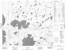
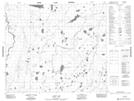
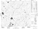
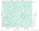
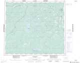
Maps showing Wetiko Hills, Manitoba
Wetiko Hills is a Mountain located in Manitoba and has an elevation of 215 meters.
- Latitude: 54° 36' 53'' North (decimal: 54.6146999)
- Longitude: 92° 26' 18'' West (decimal: -92.4382999)
- Topography Feature Category: Mountain
- Geographical Feature: Hills
- Canadian Province/Territory: Manitoba
- Elevation: 215 meters
- Atlas of Canada Locator Map: Wetiko Hills
- GPS Coordinate Locator Map: Wetiko Hills Lat/Long
Wetiko Hills NTS Map Sheets