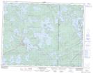
Maps showing Whiteshell Lake, Manitoba
Whiteshell Lake is a Lake located in Manitoba.
- Latitude: 50° 5' 7'' North (decimal: 50.0853000)
- Longitude: 95° 20' 16'' West (decimal: -95.3377999)
- Topography Feature Category: Lake
- Geographical Feature: Lake
- Canadian Province/Territory: Manitoba
- GPS Coordinate Locator Map: Whiteshell Lake Lat/Long
Whiteshell Lake NTS Map Sheets