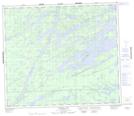
Maps showing Whitewater Falls, Manitoba
Whitewater Falls is a Falls located in Manitoba.
- Latitude: 55° 15' 48'' North (decimal: 55.2632999)
- Longitude: 96° 55' 42'' West (decimal: -96.9282999)
- Topography Feature Category: Falls
- Geographical Feature: Falls
- Canadian Province/Territory: Manitoba
- Atlas of Canada Locator Map: Whitewater Falls
- GPS Coordinate Locator Map: Whitewater Falls Lat/Long
Whitewater Falls NTS Map Sheets