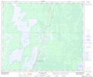
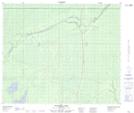
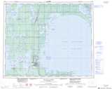
Maps showing William Lake, Manitoba
William Lake is a Lake located in Manitoba and has an elevation of 262 meters.
- Latitude: 53° 53' 47'' North (decimal: 53.8964000)
- Longitude: 99° 21' 31'' West (decimal: -99.3585999)
- Topography Feature Category: Lake
- Geographical Feature: Lake
- Canadian Province/Territory: Manitoba
- Elevation: 262 meters
- Atlas of Canada Locator Map: William Lake
- GPS Coordinate Locator Map: William Lake Lat/Long
William Lake NTS Map Sheets