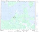
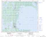
Maps showing Willow Island, 49-16-W, Manitoba
Willow Island is a Island located in 49-16-W, Manitoba.
- Latitude: 53° 13' 0'' North (decimal: 53.2167000)
- Longitude: 99° 45' 30'' West (decimal: -99.7582999)
- Topography Feature Category: Island
- Geographical Feature: Island
- Canadian Province/Territory: Manitoba
- Location: 49-16-W
- GPS Coordinate Locator Map: Willow Island Lat/Long
Willow Island NTS Map Sheets