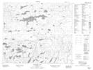
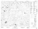
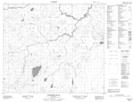
Maps showing Wimapedi River, Manitoba
Wimapedi River is a River located in Manitoba and has an elevation of 284 meters.
- Latitude: 55° 27' 30'' North (decimal: 55.4583000)
- Longitude: 99° 6' 49'' West (decimal: -99.1136000)
- Topography Feature Category: River
- Geographical Feature: River
- Canadian Province/Territory: Manitoba
- Elevation: 284 meters
- Atlas of Canada Locator Map: Wimapedi River
- GPS Coordinate Locator Map: Wimapedi River Lat/Long
Wimapedi River NTS Map Sheets