Canada Topographic Maps

Clarke River Topo Maps

Topography maps and Latitude/Longitude Location

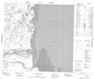
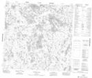
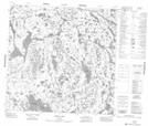
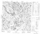
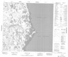
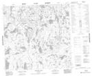
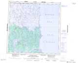
Maps showing Clarke River, Manitoba

Clarke River is a River located in Manitoba and has an elevation of 1 meters.

  • Latitude: 59° 12' 40'' North   (decimal: 59.2110999)
  • Longitude: 94° 48' 30'' West   (decimal: -94.8082999)
  • Topography Feature Category: River
  • Geographical Feature: River
  • Canadian Province/Territory: Manitoba
  • Elevation: 1 meters
  • Atlas of Canada Locator Map: Clarke River
  • GPS Coordinate Locator Map: Clarke River Lat/Long

Clarke River NTS Map Sheets

054M02 Point Of The Woods Topographic Map at 1:50,000 scale

054M04 Warner Lake Topographic Map at 1:50,000 scale

054M05 Gross Lake Topographic Map at 1:50,000 scale

054M06 Sac Rapids Topographic Map at 1:50,000 scale

054M07 Hubbart Point Topographic Map at 1:50,000 scale

064P01 Hebner Lake Topographic Map at 1:50,000 scale

054M Caribou River Topographic Map at 1:250,000 scale

064P Nejanilini Lake Topographic Map at 1:250,000 scale

 
Buy Topographic Maps DVD
Newsletter Sign-up

Yes, I want to receive map store discounts.


Bookmark and Share