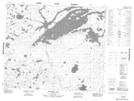
Maps showing Symes Island, 55-13-E, Manitoba
Symes Island is a Island located in 55-13-E, Manitoba.
- Latitude: 53° 44' 5'' North (decimal: 53.7346999)
- Longitude: 95° 38' 20'' West (decimal: -95.6389000)
- Topography Feature Category: Island
- Geographical Feature: Island
- Canadian Province/Territory: Manitoba
- Location: 55-13-E
- Atlas of Canada Locator Map: Symes Island
- GPS Coordinate Locator Map: Symes Island Lat/Long
Symes Island NTS Map Sheets