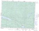
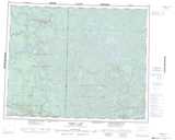
Maps showing East Lee Lake, 36-25,1-26-13-E, Manitoba
East Lee Lake is a Lake located in 36-25,1-26-13-E, Manitoba and has an elevation of 299 meters.
- Latitude: 51° 11' 00'' North (decimal: 51.1833000)
- Longitude: 95° 39' 37'' West (decimal: -95.6603000)
- Topography Feature Category: Lake
- Geographical Feature: Lake
- Canadian Province/Territory: Manitoba
- Elevation: 299 meters
- Location: 36-25,1-26-13-E
- Atlas of Canada Locator Map: East Lee Lake
- GPS Coordinate Locator Map: East Lee Lake Lat/Long
East Lee Lake NTS Map Sheets