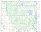
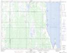
Maps showing Tamarack Marsh, 10,15,22-26-13-W, Manitoba
Tamarack Marsh is a Low vegetation located in 10,15,22-26-13-W, Manitoba.
- Latitude: 51° 15' 0'' North (decimal: 51.2500000)
- Longitude: 99° 12' 20'' West (decimal: -99.2056000)
- Topography Feature Category: Low vegetation
- Geographical Feature: Marsh
- Canadian Province/Territory: Manitoba
- Location: 10,15,22-26-13-W
- Atlas of Canada Locator Map: Tamarack Marsh
- GPS Coordinate Locator Map: Tamarack Marsh Lat/Long
Tamarack Marsh NTS Map Sheets