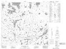
Maps showing Wiebe Island, Manitoba
Wiebe Island is a Island located in Manitoba and has an elevation of 310 meters.
- Latitude: 57° 23' North (decimal: 57.3832999)
- Longitude: 99° 21' West (decimal: -99.3499999)
- Topography Feature Category: Island
- Geographical Feature: Island
- Canadian Province/Territory: Manitoba
- Elevation: 310 meters
- Atlas of Canada Locator Map: Wiebe Island
- GPS Coordinate Locator Map: Wiebe Island Lat/Long
Wiebe Island NTS Map Sheets