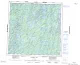
Maps showing Van Der Vennet Lake, Manitoba
Van Der Vennet Lake is a Lake located in Manitoba.
- Latitude: 59° 13' 10'' North (decimal: 59.2193999)
- Longitude: 100° 42' 33'' West (decimal: -100.7091999)
- Topography Feature Category: Lake
- Geographical Feature: Lake
- Canadian Province/Territory: Manitoba
- Atlas of Canada Locator Map: Van Der Vennet Lake
- GPS Coordinate Locator Map: Van Der Vennet Lake Lat/Long
Van Der Vennet Lake NTS Map Sheets