Canada Topographic Maps

Reeves River Topo Maps

Topography maps and Latitude/Longitude Location

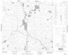
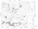
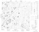
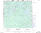
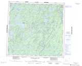
Maps showing Reeves River, Manitoba

Reeves River is a River located in Manitoba.

  • Latitude: 58° 6' 10'' North   (decimal: 58.1028000)
  • Longitude: 99° 51' 41'' West   (decimal: -99.8614000)
  • Topography Feature Category: River
  • Geographical Feature: River
  • Canadian Province/Territory: Manitoba
  • Atlas of Canada Locator Map: Reeves River
  • GPS Coordinate Locator Map: Reeves River Lat/Long

Reeves River NTS Map Sheets

064J04 Morand Lake Topographic Map at 1:50,000 scale

064K01 Chartrand Lake Topographic Map at 1:50,000 scale

064K08 Dechief Lake Topographic Map at 1:50,000 scale

064J Tadoule Lake Topographic Map at 1:250,000 scale

064K Whiskey Jack Lake Topographic Map at 1:250,000 scale

 
Buy Topographic Maps DVD
Newsletter Sign-up

Yes, I want to receive map store discounts.


Bookmark and Share