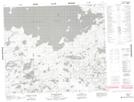
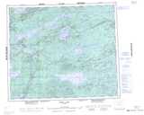
Maps showing Rose Point, Manitoba
Rose Point is a Cape located in Manitoba.
- Latitude: 54° 10' 33'' North (decimal: 54.1757999)
- Longitude: 96° 34' 52'' West (decimal: -96.5810999)
- Topography Feature Category: Cape
- Geographical Feature: Point
- Canadian Province/Territory: Manitoba
- Atlas of Canada Locator Map: Rose Point
- GPS Coordinate Locator Map: Rose Point Lat/Long
Rose Point NTS Map Sheets