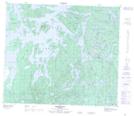
Maps showing Devils Point, Manitoba
Devils Point is a Cape located in Manitoba.
- Latitude: 55° 13' 12'' North (decimal: 55.2199999)
- Longitude: 101° 17' 11'' West (decimal: -101.2863999)
- Topography Feature Category: Cape
- Geographical Feature: Point
- Canadian Province/Territory: Manitoba
- Atlas of Canada Locator Map: Devils Point
- GPS Coordinate Locator Map: Devils Point Lat/Long
Devils Point NTS Map Sheets