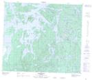
Maps showing Red Rock, Manitoba
Red Rock is a Shoal located in Manitoba.
- Latitude: 55° 13' 35'' North (decimal: 55.2264000)
- Longitude: 101° 18' 14'' West (decimal: -101.3038999)
- Topography Feature Category: Shoal
- Geographical Feature: Rock
- Canadian Province/Territory: Manitoba
- Atlas of Canada Locator Map: Red Rock
- GPS Coordinate Locator Map: Red Rock Lat/Long
Red Rock NTS Map Sheets