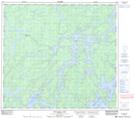
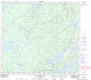
Maps showing Walleye Lake, Manitoba
Walleye Lake is a Lake located in Manitoba.
- Latitude: 57° 1' 50'' North (decimal: 57.0306000)
- Longitude: 99° 28' 14'' West (decimal: -99.4706000)
- Topography Feature Category: Lake
- Geographical Feature: Lake
- Canadian Province/Territory: Manitoba
- Atlas of Canada Locator Map: Walleye Lake
- GPS Coordinate Locator Map: Walleye Lake Lat/Long
Walleye Lake NTS Map Sheets