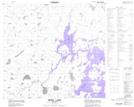
Maps showing Campbell Esker, Manitoba
Campbell Esker is a Mountain located in Manitoba.
- Latitude: 57° 48' 32'' North (decimal: 57.8089000)
- Longitude: 98° 39' 16'' West (decimal: -98.6543999)
- Topography Feature Category: Mountain
- Geographical Feature: Esker
- Canadian Province/Territory: Manitoba
- Atlas of Canada Locator Map: Campbell Esker
- GPS Coordinate Locator Map: Campbell Esker Lat/Long
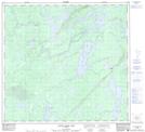
Campbell Esker NTS Map Sheets