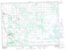
Maps showing St. Pierre Jolys, Manitoba
St. Pierre Jolys is a Unincorporated area located in Manitoba.
- Latitude: 49° 26' 25'' North (decimal: 49.4403000)
- Longitude: 96° 59' 4'' West (decimal: -96.9843999)
- Topography Feature Category: Unincorporated area
- Geographical Feature: Post Office
- Canadian Province/Territory: Manitoba
- GPS Coordinate Locator Map: St. Pierre Jolys Lat/Long