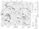
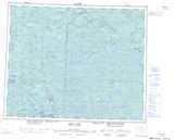
Maps showing Middleton Bay, Manitoba
Middleton Bay is a Bay located in Manitoba.
- Latitude: 52° 21' 2'' North (decimal: 52.3506000)
- Longitude: 95° 55' 35'' West (decimal: -95.9264000)
- Topography Feature Category: Bay
- Geographical Feature: Bay
- Canadian Province/Territory: Manitoba
- Atlas of Canada Locator Map: Middleton Bay
- GPS Coordinate Locator Map: Middleton Bay Lat/Long
Middleton Bay NTS Map Sheets