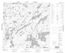
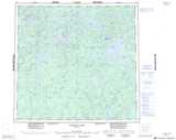
Maps showing O'Brien Island, 110-15-W1, Manitoba
O'Brien Island is a Island located in 110-15-W1, Manitoba.
- Latitude: 58° 33' 43'' North (decimal: 58.5618999)
- Longitude: 99° 57' 32'' West (decimal: -99.9589000)
- Topography Feature Category: Island
- Geographical Feature: Island
- Canadian Province/Territory: Manitoba
- Location: 110-15-W1
- Atlas of Canada Locator Map: O'Brien Island
- GPS Coordinate Locator Map: O'Brien Island Lat/Long
O'Brien Island NTS Map Sheets