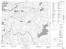
Maps showing Clay Rapid, Manitoba
Clay Rapid is a Rapids located in Manitoba.
- Latitude: 55° 32' 17'' North (decimal: 55.5380999)
- Longitude: 99° 41' 31'' West (decimal: -99.6918999)
- Topography Feature Category: Rapids
- Geographical Feature: Rapid
- Canadian Province/Territory: Manitoba
- GPS Coordinate Locator Map: Clay Rapid Lat/Long
Clay Rapid NTS Map Sheets