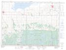
Maps showing Little Thirteen Creek, Manitoba
Little Thirteen Creek is a River located in Manitoba.
- Latitude: 49° 0' 8'' North (decimal: 49.0021999)
- Longitude: 100° 21' 58'' West (decimal: -100.3660999)
- Topography Feature Category: River
- Geographical Feature: Creek
- Canadian Province/Territory: Manitoba
- GPS Coordinate Locator Map: Little Thirteen Creek Lat/Long