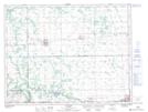
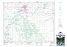
Maps showing Overhill Drain, 34-10-7-W1, Manitoba
Overhill Drain is a Hydraulic construction located in 34-10-7-W1, Manitoba.
- Latitude: 49° 53' 12'' North (decimal: 49.8867000)
- Longitude: 98° 19' 25'' West (decimal: -98.3236000)
- Topography Feature Category: Hydraulic construction
- Geographical Feature: Drain
- Canadian Province/Territory: Manitoba
- Location: 34-10-7-W1
- Atlas of Canada Locator Map: Overhill Drain
- GPS Coordinate Locator Map: Overhill Drain Lat/Long
Overhill Drain NTS Map Sheets